Navigation
The Navigation Tab groups functionalities for interacting with a connected GPS device, as well as tools for drawing, importing and exporting GPX (GPS Exchange Format) waypoints and routes.
Enabling Geolocation
To use a GPS device with KADAS on Windows, the GpsGate Splitter application must be installed on the system, see Configuring GPSGate.
The status of the GPS connection is displayed in the status bar in the lower area of the application window. This button can be toggled to set up resp. terminate a connection. The fill color of the status button changes depending on the current connection status
- Black: GPS disabled
- Blue: connection is being initialized
- White: connection initialized, but no data is being received
- Red: connection initialized, but no position data is available
- Yellow: connection initialized, only 2D fix
- Green: connection initialized, 3D fix
As soon as KADAS starts receiving position data from the GPS device, a marker will be placed on the map showing the current GPS position.
Moving with Geolocation
This functions enables automatic centering of the visible map extent at the current GPS position.
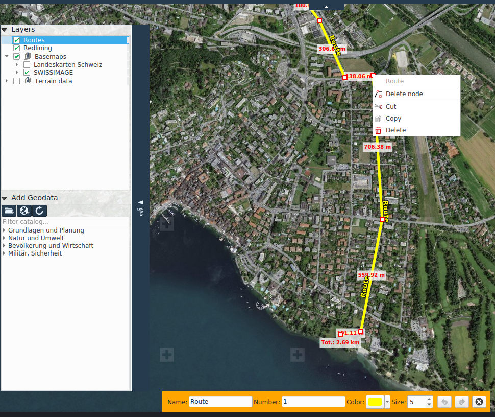
Drawing waypoints and routes
These functions allow drawing waypoints and routes, which can later be exported as GPS, for instance to upload to a GPS device.
Waypoints are simple points on the map, fitted with an optional name.
Routes are polylines, fitted with an option name and number.
Waypoints and routes are managed in a dedicated GPS Routes layer in the layer tree, analogous to redlining layers.
GPX export und import
These functions allow the user to export drawn waypoints and routed to a GPX file, as well as importing an existing GPX file into the GPS Routes layer.